
Maps
In: Examples
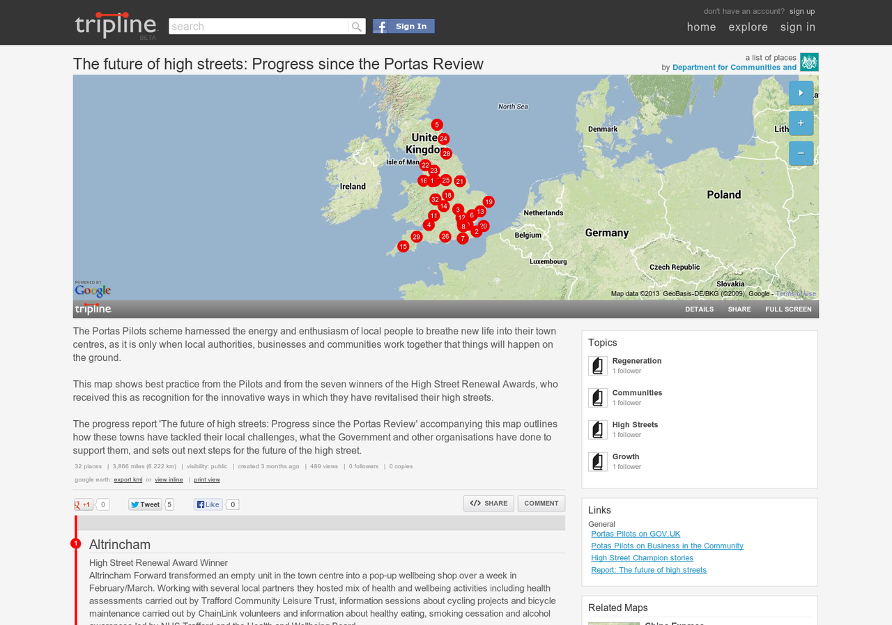
The future of high streets: Progress since the Portas Review on Tripline
The Department for Communities and Local Government used the mapping tool Tripline to plot the location, photos and progress reports … Read more » – The future of high streets: Progress since the Portas Review on Tripline
In: Examples
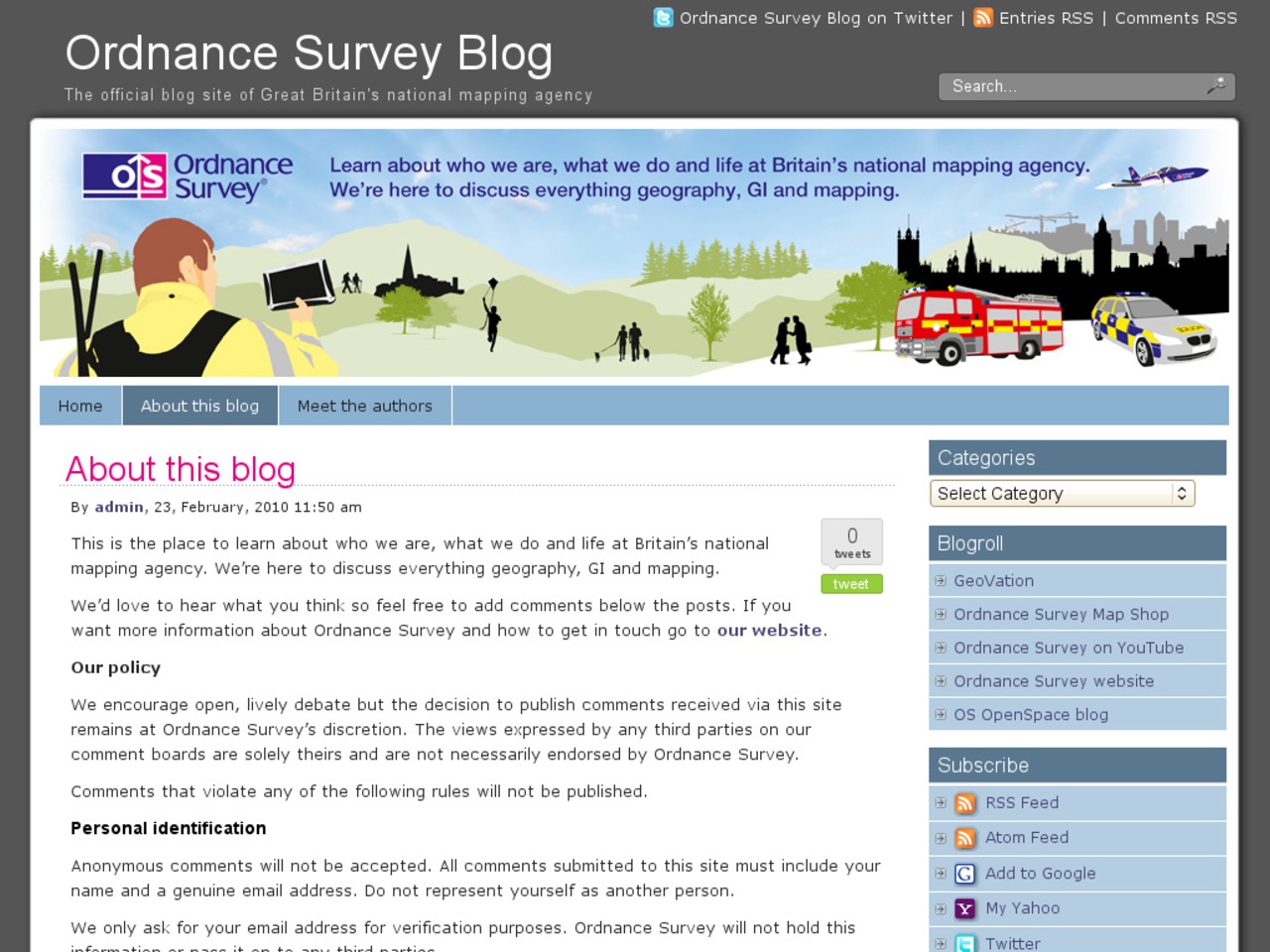
Ordnance Survey Blog
Ordnance Survey, the mapping and geographic information specialist agency, runs an active blog talking about the work of the organisation, … Read more » – Ordnance Survey Blog
In: Examples

Maps and apps – mobile apps for digital health
Maps and Apps is a crowdsourcing project run by the Department of Health, which sourced examples of or ideas for … Read more » – Maps and apps – mobile apps for digital health
 Everything