DCLG and English Heritage coastal communities competition
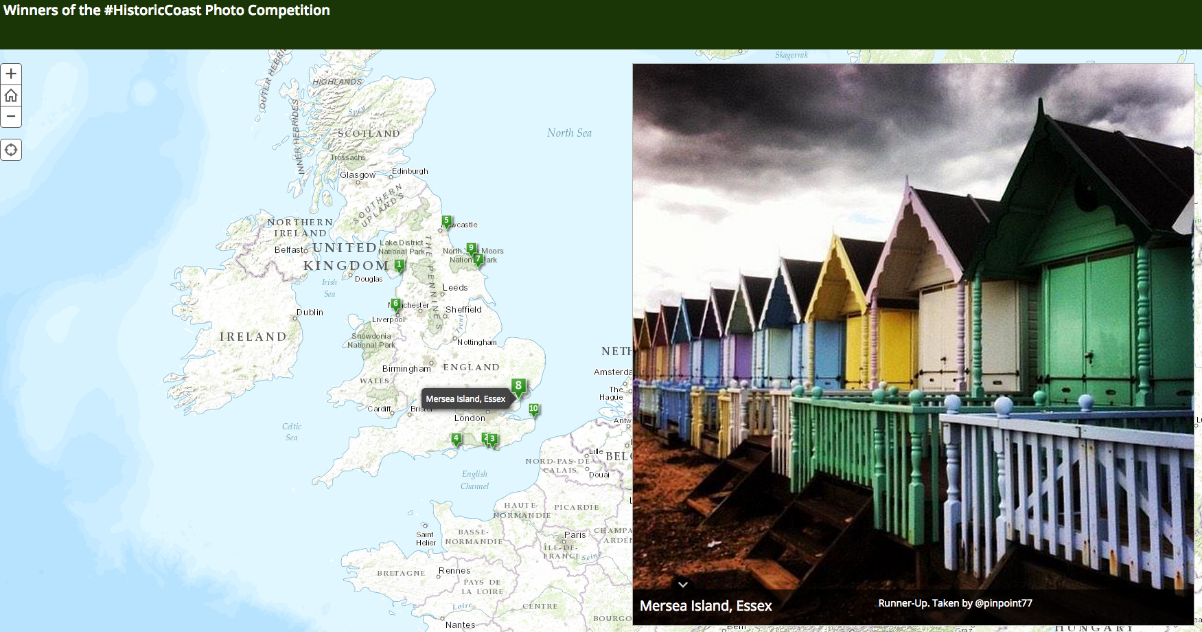
The Department for Communities and Local Government (DCLG) and English Heritage ran a joint competition to find the most popular photographs of coastal heritage sites. Their aim was to promote the Coastal Communities Fund.
Participants tweeted their entries and ArcGIS was used as a mapping platform, to show people where in the UK the winning shots were taken.
The competition, run jointly with English Heritage, saw more than 1,000 photo enthusiasts enter by tweeting a photograph of a local heritage site known for its cultural significance, unusual architecture, or contemporary use.
Many of these icons provide inspiration that helps turn towns around and the photos unearthed a range of coastal treasures from picturesque piers, vibrant beach huts to striking lighthouses. More than 11,000 people voted across 24 shortlisted snaps.
Follow @DigEngGuide for more examples and tips


 Everything